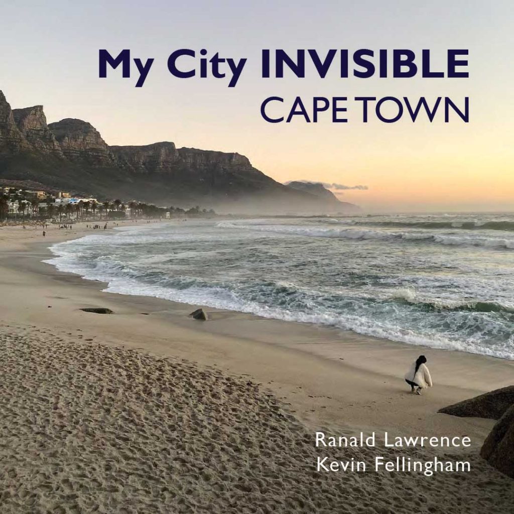
My city INVISIBLE
CAPE TOWN
Beneath the streets of downtown Cape Town flows the Camissa river. In the language of the Khoi San the name means ‘sweet water for all’; reflecting the symbiotic relationship of the indigenous people with the water flowing from the unique fynbos ecosystem of Table Mountain on the Cape peninsula, at the heart of the smallest – but by some measures the most diverse – of the world’s six floral kingdoms.
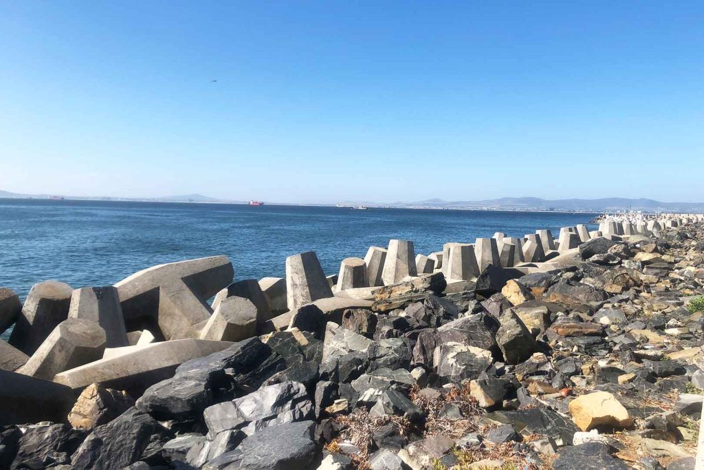
The Cape peninsula meets the sea at the junction of the Atlantic and Indian oceans, where whales, sharks, seals, penguins and tuna feast on enormous schools of sardines that migrate northwards every winter. The Cape’s exposure at the southern tip of Africa makes it especially susceptible to cyclical El Niño weather events, making the city a bellwether – a canary in the coalmine – for the effects of anthropogenic climate change. Following a prolonged drought in 2017-18 water levels in the city’s reservoirs fell below 13.5%, and the city almost became the first in modern history to run out of fresh water.
The Cape’s unique geographical position (first realised by Vasco da Gama in 1488, followed by the Dutch East India Company, who recognising the value of the fresh water from Table Mountain established a supply station in 1652), stimulated the growth of a city at the crossroads of global trade routes, where east meets west and somewhat counterintuitively north meets south.
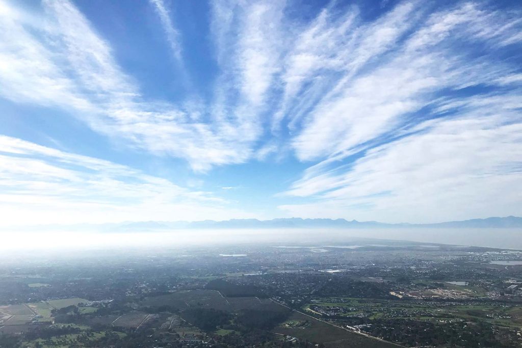
From the summit of Table Mountain, the city sprawls outwards from the commercial centre of the City Bowl to the north, contained by the seventeenth century fortifications, to the hinterland of the Cape Flats to the east, where the majority of the population live in townships such as Mitchells Plain and Khayelitsha, established by the Apartheid regime in the 1970s and 80s. Temperature inversions caused by warm air rising from the ocean over Table Mountain often trap a layer of man-made haze (a combination of fumes and smoke) over the city below. The suburb of Grassy Park lies between the town of Muizenberg to the west and Mitchells Plain to the east. Following the City’s adoption of the Group Areas Act in 1957, it was assigned to people classified as ‘coloured’. Since the abolition of spatial segregation, the area has become a vibrant interzone, connecting poorer migrant populations to the wealthy neighbourhoods on the lower slopes of Table Mountain, with relatively low land prices offering commercial opportunities for small businesses to be established.
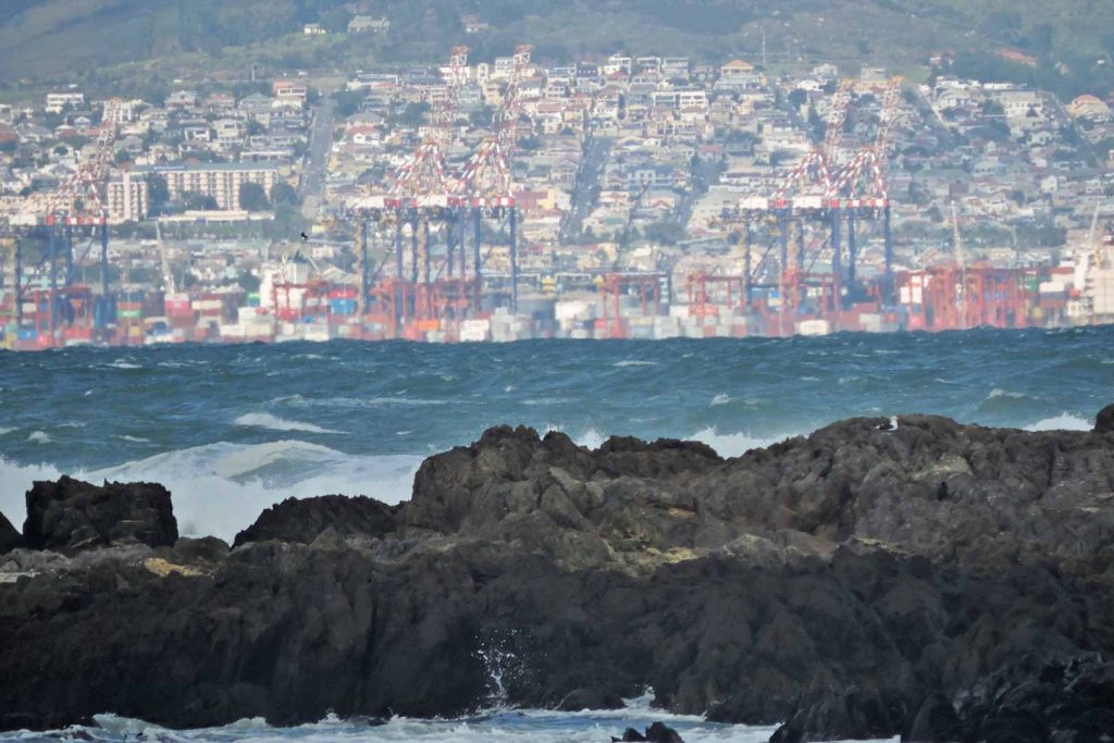
To the north, the approach to the port along Marine Drive is lined by tanks and storage facilities reflecting the economy of modern South Africa. South Africa imports 60% of its oil, including 100,000 barrels/day of diesel to meet shortfalls in electricity generation exacerbated by historic mismanagement and corruption in state-run power company Eskom.
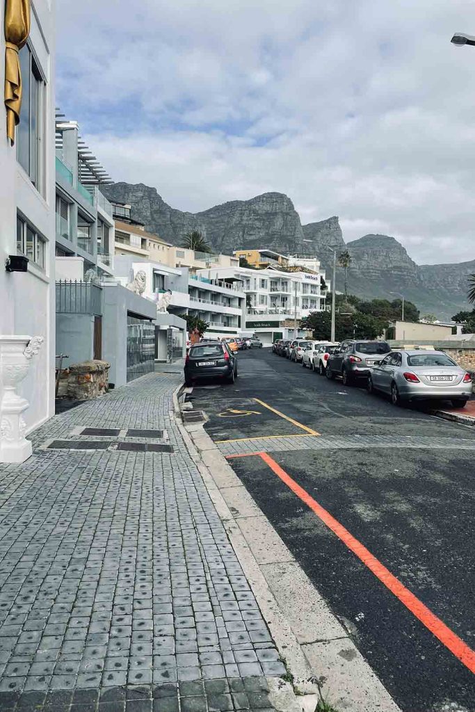
Since the end of Apartheid the city centre has been transformed. The old harbour has been regenerated as a retail and leisure park. The Victoria and Albert Waterfront, which opened in 1990, serves as a destination for tourists and wealthier residents who live along the shoreline of Sea Point and Camps Bay, overlooking the Atlantic Ocean and the sunset to the west.
From the City Bowl, the arterial roads N1 and N2 head eastwards, connecting the city to the rest of the country. Along the N2, colourful gable ends to two-storey terraces show the results of efforts to rezone and formalise townships still segregated by transport infrastructure. The quality of the housing may have improved, but the division of private lots has decimated the spaces in between. At Century City Train Station, locals wait for a lift to or from work. Traders set up impromptu stalls on the side of the road selling fresh fruit and vegetables. The suburban bus and railway network provides a vital lifeline for residents of the Cape Flats – providing affordable and sometimes reliable transport into the economic heart of the city.
Mowbray lies on the eastern slopes of Devil’s Peak, close to the upper campus of the University of Cape Town. Its location and student population make it a desirable, if transitory, suburb. To the other side of the City Bowl, the Victorian houses of Tamboerskloof provide a deceptively quiet backdrop to one of the more desirable inner city neighbourhoods. The city centre still retains many of its original Cape Dutch townhouses, cheek-by-jowl with twentieth century offices. The colourful houses of Bo-Kaap are still home to the city’s Islamic Cape Malay community.
Still operating as an intersection of international trade and culture, Cape Town is a city that defies easy classification. At first glance – despite the end of Apartheid government – it is a city where historic social injustices are rendered all too visible in the present. But it is simultaneously a city where globalisation and good governance are slowly reducing systemic inequalities. This is occurring in spite of economic mismanagement at a state scale, and the escalating risks associated with climate change at a global scale. The future is fragile in many ways, but this is a resilient city.